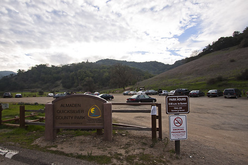
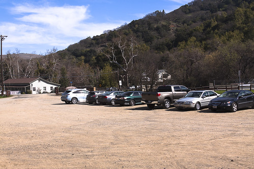
It was a gorgeous day at Almaden Quicksilver County Park. The parking lot is quite large and I liked the fact that it was not packed which meant the trails weren't crowded. We started on the Hacienda Trailhead entrance.
Due to some bad weather conditions, Randol Trail was closed. That was a major trail that we planned on taking. So we took a few minutes to redraw the hiking route to equal to 7 miles with the provided map. It is not a workout if it is not at least a 7 mile hike :P
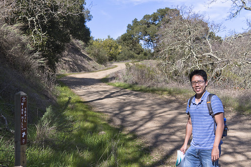
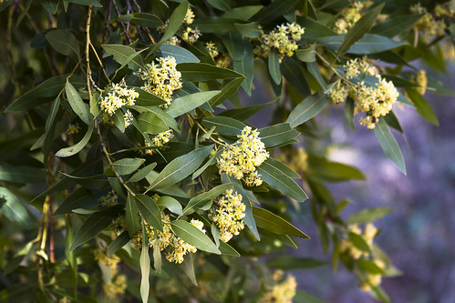
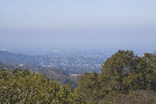
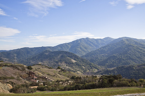
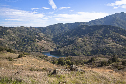
Mine Hill Trail was the starting point with mostly uphill but well shaded for 1.1 mile. You will find lots of trees and sometimes one or two branches of yellow flowers. They are small and cute. I could use some for wedding decoration :) On the way up, you could oversee the valley yet it is quite hazy (must be from the carbon footprints we created). Not sure if this was the highest point in the park but it could reach up to 1,700 feet (518 m) above sea level.
Stay on the left after the first junction as we continued on the Mine Hill Trail 0.8 mile. This part is fairly flat. There's more trees and shades. We took the outside loop onto the April Trail to check out a mine structure and the powder house.
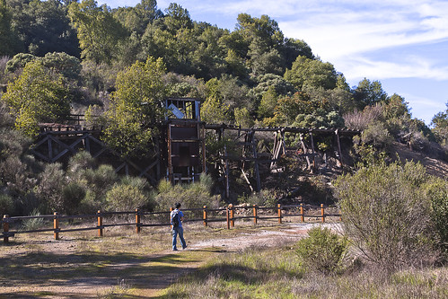
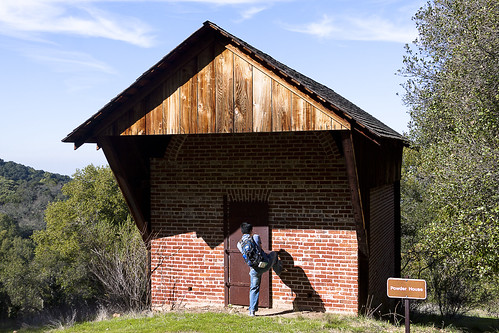
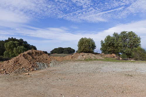
It was very interesting to learn the history. This park was home to more than 1,800 miners and their families over 135 years ago. There was a lot of mercury mining activities here in the 19th century. The mines were highly important during the California Gold Rush since mercury was used to extract gold from ore.
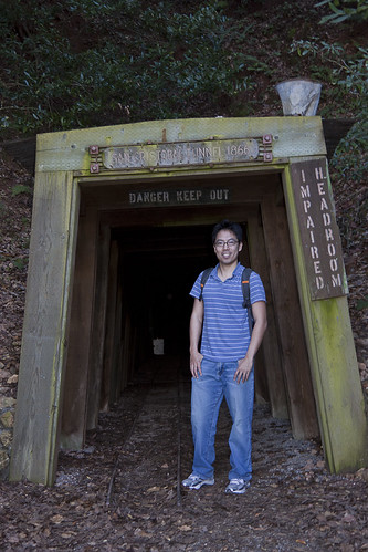
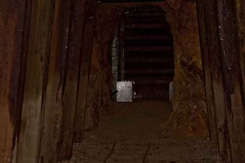
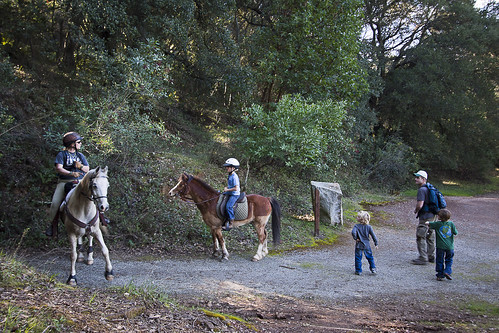
We reached another junction after another 0.5 mile. Part of this trail was fairly muddy. We made a left turn to go slightly up at the junction for less than 0.1 mile and reach the San Cristol Mine. Here we found a tunnel with a train track. I peeked through the gated door but it was too dark to see anything. A couple of kids were fascinated about the tunnel and asked so many questions to his dad. That was so cute. Even a family of two came in on their horses. It is a great trail to spend some quality family time.
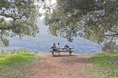
We enjoyed our lunch here at a picnic table. We were also too hungry (it was 2:00pm already) to walk any further. We each had a banana before the hike and that was our breakfast. By now, we burned it all off and even more. Walt packed a baguette, some Swiss cheese, maple honey ham, and egg salad. Other than the not-so-soft-for-my-brace baguette that I had to complain to Walt, the meal was delightfully delicious. The area was very shaded and it began to get a bit chilly.
We headed down and got back on the Mine Hill Trail for 0.3 mile to get to another junction. At this point, the area is wide. The view is awesome. There was a couple of picnic tables that you could sit and eat. We could had eaten here if we would hold our hunger for another 5 minutes >.<
While I was checking and taking some pictures of the area, look what Walt had to do. REALLY?! He is on his Blackberry, again! Hmph Hmph Hmph!
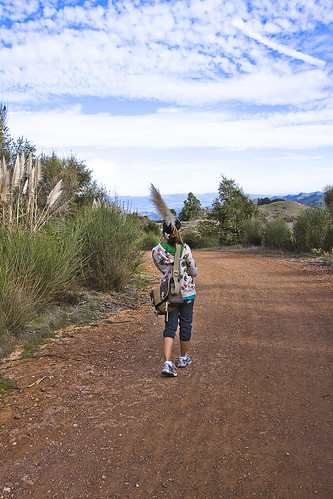
We made a left at this junction to get on Castillero Trail. Here we walked for 0.6 miles. There were some red rocks. It made you wonder why they were piled in that formation.
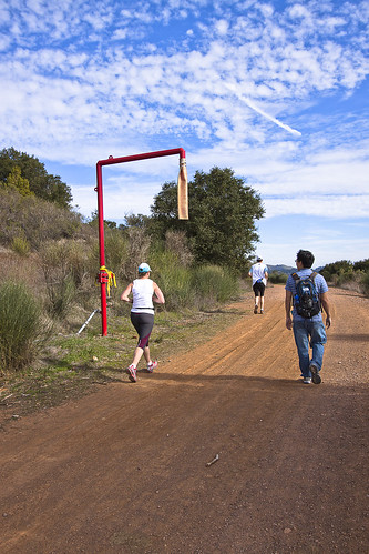
There were lots of hairy bushes along the way. I picked up a broken one to pretend it was a magic wand or the broom in Harry Potter that would fly...hahaha. A water hose was in the middle of nowhere. Do you know what the purpose of having it? We saw quite a bit of people running and walking at this part of the trail.
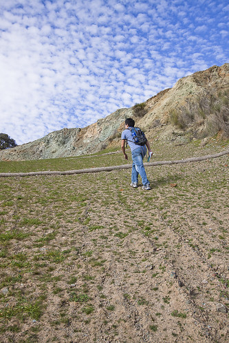
There was an extremely steep uphill on the left side of the trail. Being a curious George of me, we got to check it out. It was not a long climb but could your heart pumping. But it was worth it for the extra climb. You could see a beautiful view of the valley and another mining structure.
Heading down the hill was freaky. I don't know why but this image of me rolling down is always stuck in my head.
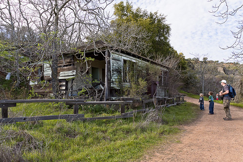
Coming to the next junction, we head on to the Spanish Town, another landmark. Along the way, we saw this same family again :) The kids were so cute. We wondered where their mom was. This old house was probably where the Spanish used to live in this town?
The area was widely open. Some trees were all dry, leaving only naked branches. It looked a bit creepy.
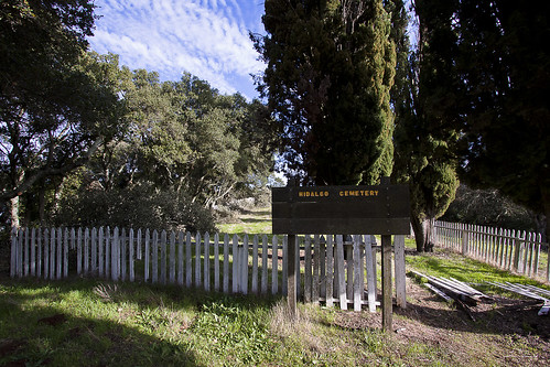
I hesitated whether to walk further to visit the Hidalgo Cemetery. I didn't think we would see anyone along the way but a family was coming back from that direction. So, I guess they didn't get abducted by the spirits. What the heck...it's only another 0.5 mile.
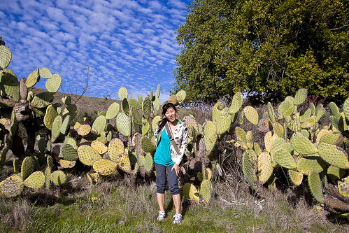
It's odd to see a spot of cactus. I had some fun with it and really got poked by the spikes.
After feeling like longer than 0.5 mile walk, we finally got to the cemetery. Walt kept on walking so far ahead of me, it started to get on my nerve. Why did he leave me walking alone in the back? Did he not know I was scared >.<
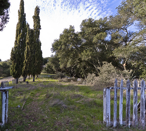
The area was fenced. Grass and weeds grew all over the place. I guess it hasn't been clean up for a while. The branches of the trees around this area were thick and strong. Some kind of stuff was growing on the branches...not sure what it is.
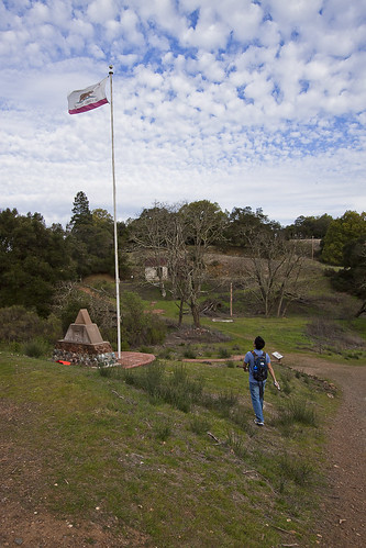
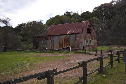
It's time to head back as the sky starting to get dark and the wind was blowing harder. We hiked the Yellow Kid Trail to get to the English Camp. There was a flagpole and a barn. I love barns. There is something just very sacred about barns. This area was probably the nicest of all.
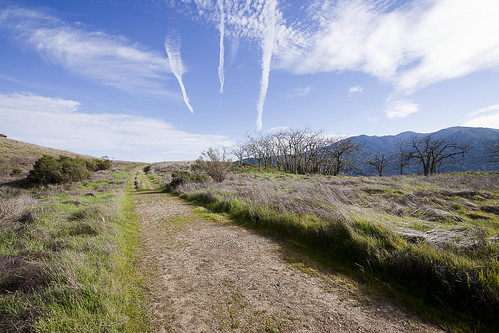
After this point, it was a long 1.6 mile of downhill on the Deep Gulch Trail (the name of the trail really give it away). We played some more category game to pass time - soap brands, pizza restaurants, soft drink, name of yogurt stores, etc.
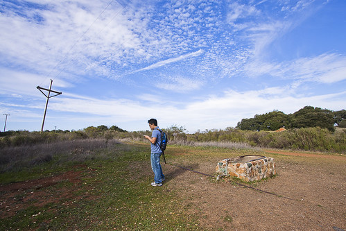
The end of the route took us to a piece of grassland where the canons (when we saw it at the start of the hike). The grass is so green at this time of the year. Thanks to all the rain we had in the past couple of weeks.
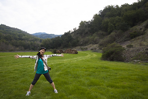
The hike was really nice and more so with the landmarks along the way. It was more shaded than I expected. We spent 4 hours in the wilderness walking, talking, and laughing, not to mention some hugging and kissing too :-)